Oil spill trajectory modelling provides information on potential movement of oil slicks. This information supports the decision-making process for identifying general resources at risk and mobilization of response resources. Computerized oil trajectory modelling provides oil movement predictions (2D and 3D) as well as detailed information about oil weathering such as evaporation, emulsification and natural dispersion.
Oil spill surveillance, whether through aircraft or remote sensing (e.g. satellites), collects images of the spill to visually assess the oil thickness, to estimate the oil weathering and to determine the extent and appearance of oil slicks. It also provides a validation of information obtained from oil spill modelling.
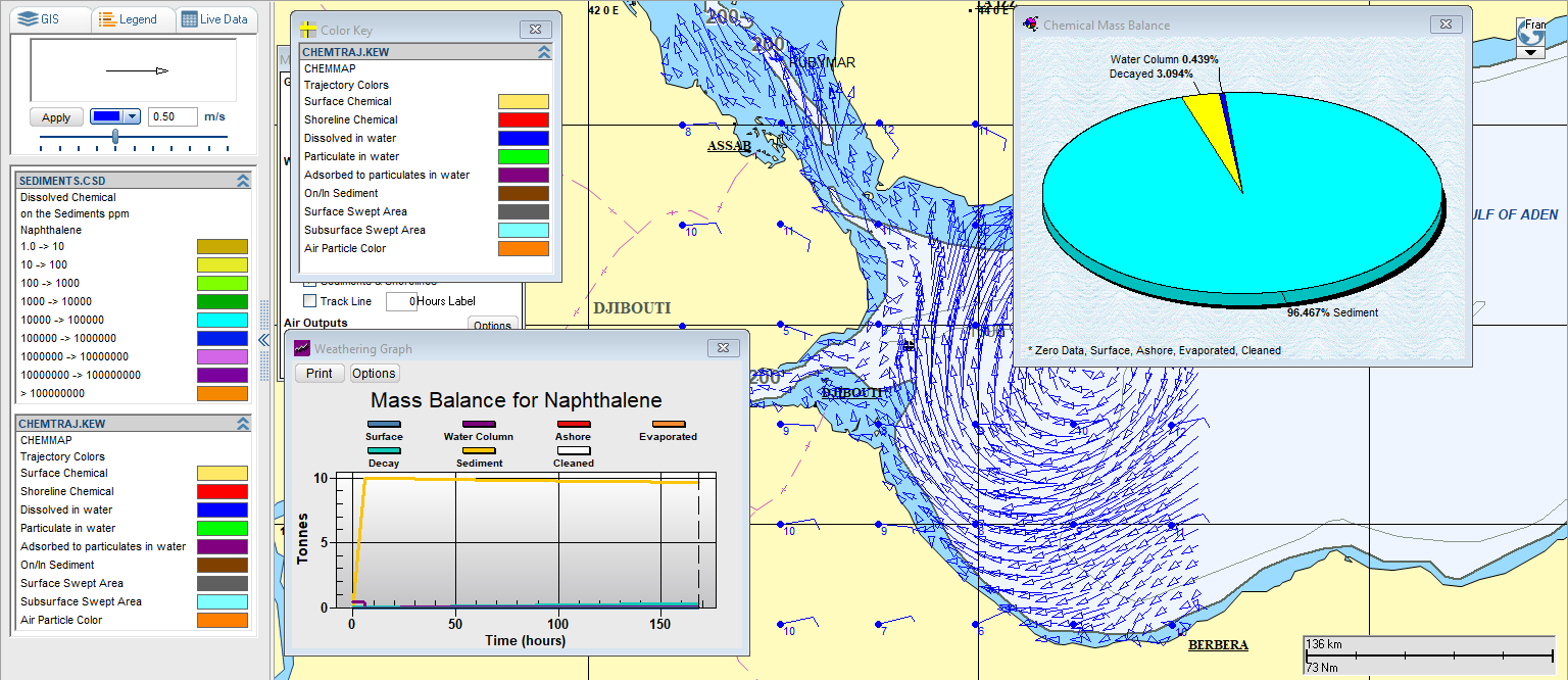
Based on the vision of PERSGA to raise the capability and performance of EMARSGA and to improve the Centre’s capabilities in coordination of response efforts in the case of emergency, an Oil Spill Trajectory Model has been installed in the Centre in June 2008.
Additionally, the carriage of many millions of tons of chemicals in bulk on specialized carriers, or on container and cargo ships in this region indicates strongly that an incident that could or would cause damage to the marine environment of RSGA is a distinct probability.
In this context, the model was upgraded in 2024, and new functionalities and settings were added in order to integrate the chemical and atmospheric components, and the improvement work was undertaken under the SFISH project funded by the World Bank.